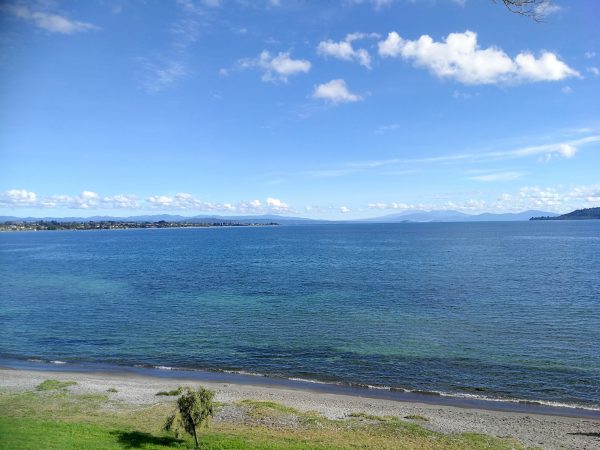
From Rotorua we traveled more south and our next stop was Taupo. Taupo is located at the outlet of Lake Taupo, New Zealand’s largest lake. It is in the caldera of the Taupo volcano with a surface area of 616 square kilometers (238 sq mi). The caldera was created by supervolcanic eruption which occurred approximately 26,500 years ago. I wondered if the volcano was going to erupt again and when.
Many tourists come to Taupo because it is close to Tongariro National Park . It has been acknowledged by UNESCO as one of the 28 mixed cultural and natural World Heritage sites. The Tongariro National Park is home to the famed Tongariro Alpine Crossing, widely regarded as one of the world’s best one-day hikes. It is 19.4 km long with about 800 m climbing up. I knew it was not for me and I wasn’t hiking. While my friend went hiking, I spent my day in Taupo walking on a lake shore and enjoying good weather.

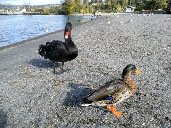
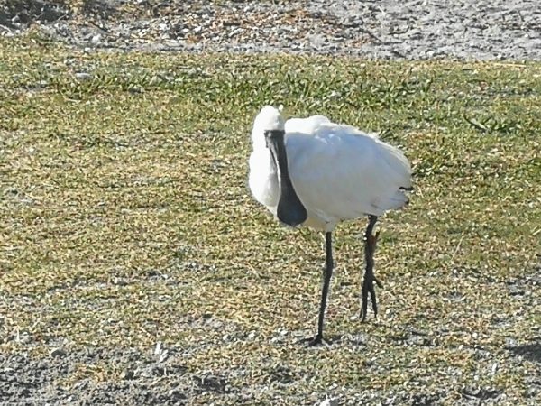
I met few friendly birds on a shore:
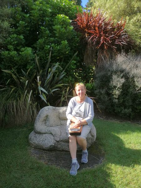
I also enjoyed walking in a park:
The next day we traveled to Napier, a town on an East side of North Island on a Pacific shore. Originally we didn’t want to go to Napier, we thought there would be anything interesting to see. Actually we loved Napier very much!
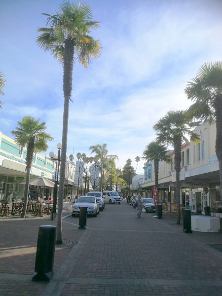
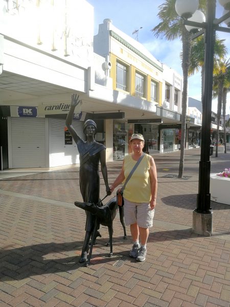
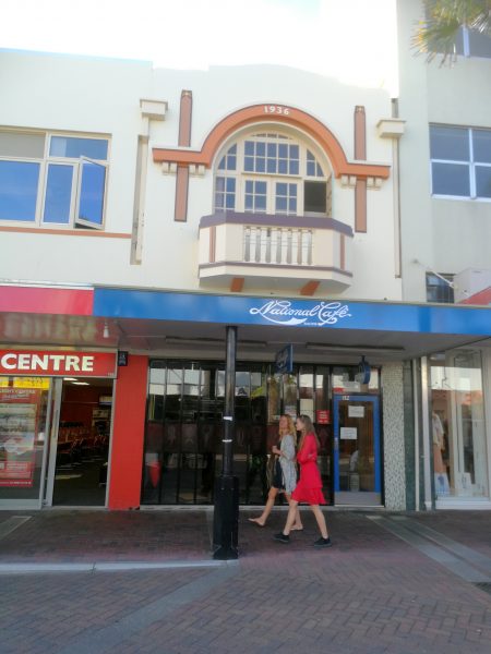
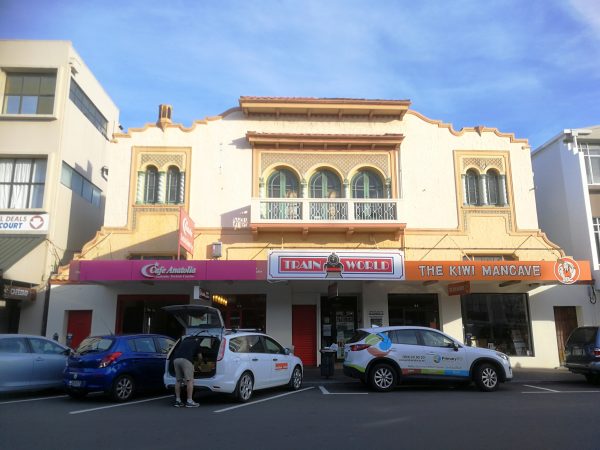
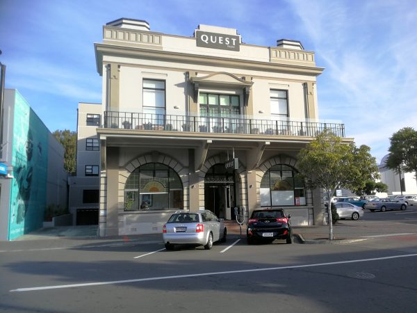
Napier is a popular tourist city, with a unique concentration of 1930s Art Deco architecture, built after much of the city was razed in the 1931 Hawke’s Bay Earthquake. Enjoy few photos from Napier:
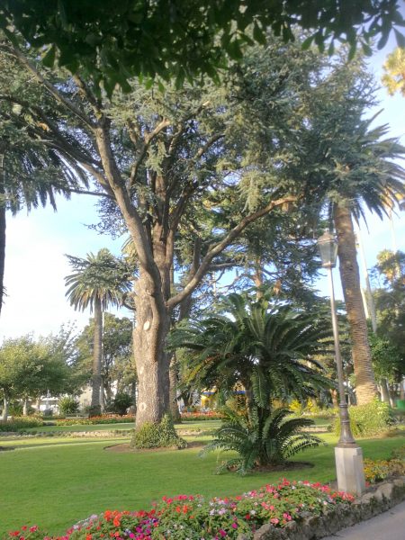
There was a nice park close by our hotel:

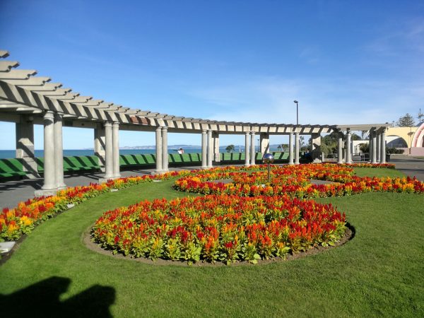
We went to the Pacific shore during the day:
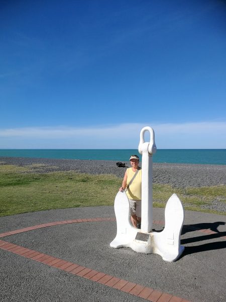
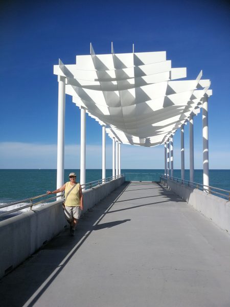

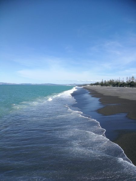
We went back to the Pacific in late evening and played with selfies in the moonlight:

Next day we left Napier for more than 300 km ride to Wellington, the capital city of New Zealand. But that is going to be told in my next post. Come back!


Very nice selfie.